North Harbor to Queens Cove
Solander Island with Brooks Peninsula in background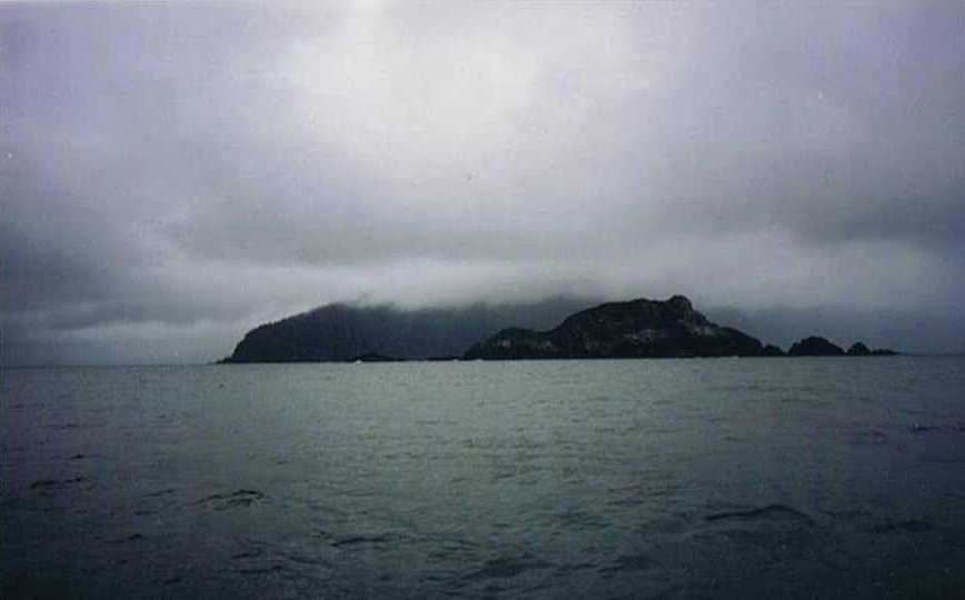
Wednesday, June 9 - 7 am - Round Brooks Peninsula, Cape Cook, and Solander Island. Flocks of Tufted Puffins were everywhere. Beautiful little sea birds. I kicked myself for not having more fast film so that I could get some pictures of them. These are very exciting moments as I have always heard of tales rounding Brooks Peninsula. Rounding the point, the pilothouse passed me on its way to Columbia Cove. There were three buoys and a fishing boat had the center one, the pilothouse and I on the outer ones. This is part of Brooks Peninsula Provincial Marine Park. I launched Isabella and eventually found the trail to the outer beach. The trail was less boggy, shorter and there was less beach to have to drag Isabella over.
Driftwood on Brooks Peninsula Beach
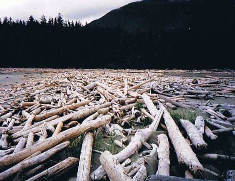
The outer beach, however, is larger, and with much more driftwood. One could spend weeks coaming through for glass balls here. It is several miles long and I wore myself out so that I had to lie down on a log to rest up before taking the trail back to the boat. Pasta with clams and clam sauce and buttered toast. Oh did that taste good to the weary hiker. John called at 8 pm. It surprised me as I had left the VHF on from noon and had forgotten it. This was the first transmission I'd heard all day. They were in Walter's Cove and we would meet up in Dixie Cove tomorrow night. The fishing boat had a single cylinder engine running. I had first thought it to be a generator but then realized that all lights were off in the boat by 11 pm and this was going to run all night. It must have been a chiller unit of some sort, but it was noisy. The current had swung Corleto's bow toward the fishing boat, so instead of anchoring away, I attached some line to my line to the buoy and let it out and set a stern anchor. Then drawing up on the bow line, I was able to keep my bow to the noise and could barely hear it all night since I was tucked into the quarter berth in the aft end.
38 mi - 9 hours - heavy mist
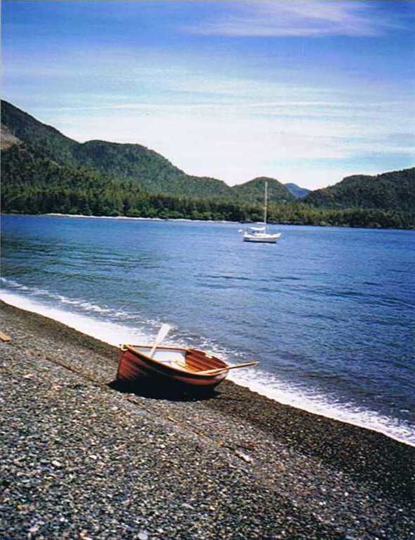
Thursday, June 10 - Left at 7:20 to wind my way through the Bunsby Islands. (Another provincial marine park.) I saw lots of sea otters. They are unmistakable as they swim on their backs with their fore legs up in the air and seem quite curious as I quietly motored past. This is a winding route today. I hadn't even recorded all the legs. There must be nearly thirty of them. I wound into Walter's Cove, only to find that the store was closed and the phone didn't work. I moved to another float and was able to call Annamarie, and then was off to Crowther Passage. The opening I had planned to go through just didn't look deep enough when I came to it so I did a quick rerouting after a look at the chart and went a bit further where there was a wider gap. A nice breeze came up and I could have sailed for a bit, but there is always some risk being alone, since there is no one to turn around and fish you out if you fall overboard. Also, this was all secondary wind, and I had no assurance how long it would last. As it turned out I could have had at least an hour of sailing. John and Barbara were waiting as I drove into the inner part of Dixie Cove Provincial Marine Park. John rowed over in his dinghy and we shared adventures and later I rowed over in Isabella and had dinner with them once again. We had discovered that no VHF weather broadcasts can be received in Dixie Cove.
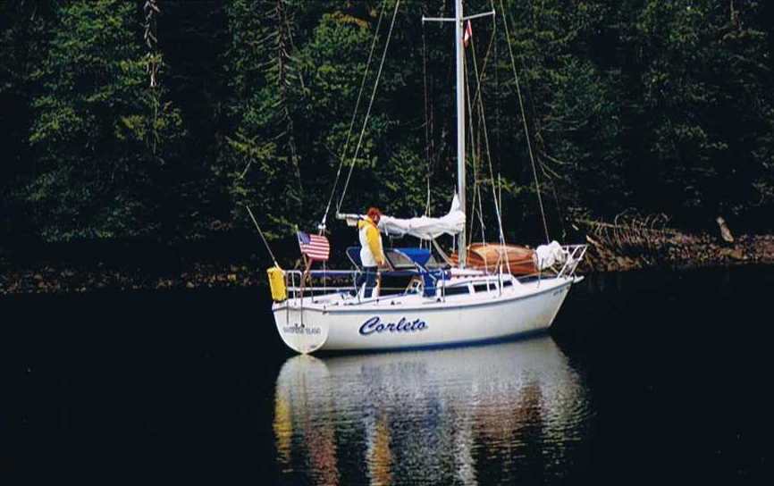
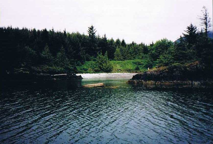
Photo by John in Dixie Cove
This place is touted by all the guide books for being a good place to sit out bad weather. Not sure how one would ever know if it was bad weather outside.
29mi - 7 hours
Friday, June 11 - I left at 5:50 and anchored off the beach at Rugged Point Provincial Marine Park and rowed the dingy ashore onto the sandy inner beach. The trail was quite developed here, and a short walk had me to the outer beach. Not at all on par with the two prior beaches I'd been to. On my way back, the wind had picked up and was blowing Corleto straight to the beach. It did make for a scramble to get the anchor lashed down before getting back to the cockpit in time to back away from the beach and turn around.
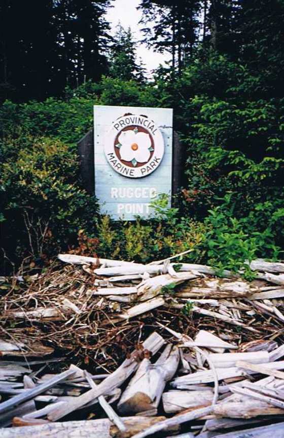
Rugged Point Sign
The weather forecast had gale force winds so I had hanked on the storm jib and went to reef the main when I discovered the boom casting broken where the tack and reefing hook connect. I lashed the sail to the boom and mast unreefed. I had chosen the inner channel, which took me through a rock and reef infested area. The GPS was giving me odd results again and I was thankful it wasn't foggy as I finally ignored it and used the compass and chart to make my way out to open water. I had chosen to come into Rolling Roadstead, which is also a rocky area, many submerged rocks and reefs.
This brought me past Catala Island Provincial Marine Park where I anchored. The chart shows anchorage on the south side of the gravel bar which extends on the east side. After anchoring I discovered that during an ebb, the north side would have been much preferable. Corleto was dragging her anchor with the combined forces of wind and current. I normally tie the tiller crosswise to reduce "sailing at anchor," which Catalina 27's are notorious for. So, I let out more scope and ran the engine slowly in reverse and it dug in. Ashore, the beach was made up of the most polished stones I've ever seen in natural state. It was like each had been run through a polisher. Undoubtedly the work of a million years of softly being rearranged by the passing currents and gentle waves of the inner side of the rugged coastline. I could not climb up a small slope at all, it was like walking in marbles and I would sink over my ankles.
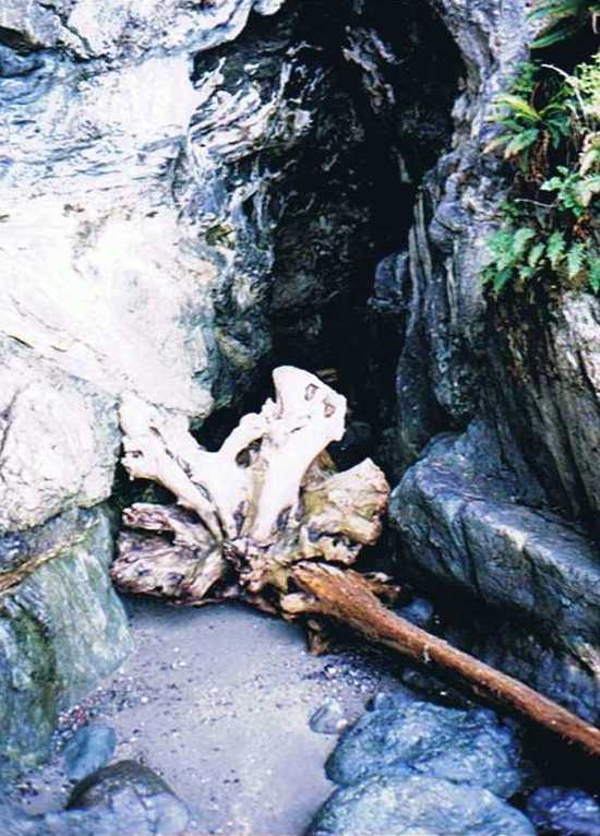
On the north side I became fascinated with a cave. As I climbed further inside, I discovered it to be a sea cave that went back at least 100 feet. It showed signs of limestone erosion inside, where there were stalactites on the ceilings. I would feel my way until I could not see any further and then using the flash of the camera, could pick my way further in the dark. Had I only known, I had a headlamp on the boat. Next time....
Continuing on, I met up with John and Barbara in Queens Cove, along with the pilothouse. A very quiet and secure anchorage. I had tried setting my anchor while running forward like John had said he found worked well. It took me too long however, to get it unlashed and so when I finally got it down I was really too close to John and Barbara's boat. We discussed the possible need for me to re-anchor and John said it was up to me, but I decided not to move. I worried about it all night, however and got little good sleep as a result. The buzzer was continuing to go off even more, so I finally tried unplugging the wire to one of the heat sensors, and that stopped the buzzer. It still went on when I first started up, before the oil pressure came up, which verified that oil pressure wasn't the problem. The other sensor connects to the temperature gauge and it still worked fine and correlated to the water temperature, so the problem was with the buzzer sensor, not the engine.
30 mi - about 8 hours - a warm and sunny day